This, has been a slow year!
Injury and illness have colluded to ensure that following an indulgent 2011, twenty-twelve has been a bit of a drag with regards to outdoor pursuits.
The highlight; a perfect winters day to summit Mt Greville. The low-light(s); the cancellation, due to injury, of a northern Patagonian pack-rafting/hiking trip in addition to the annual New Zealand tramping/biking sojourn. Hoping, for a more active 2013!
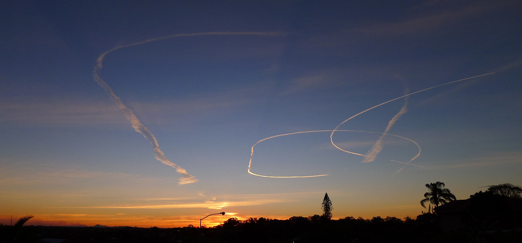
Contrails
Banks Creek
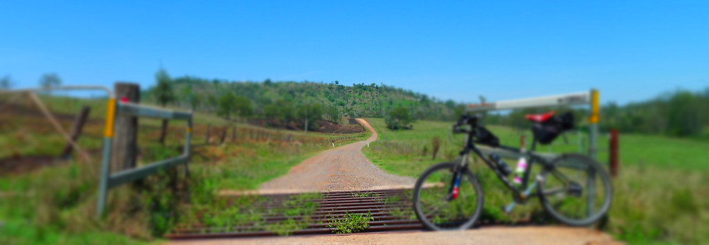
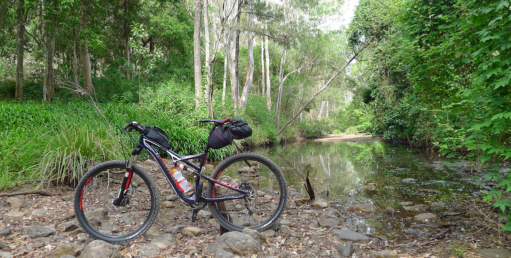
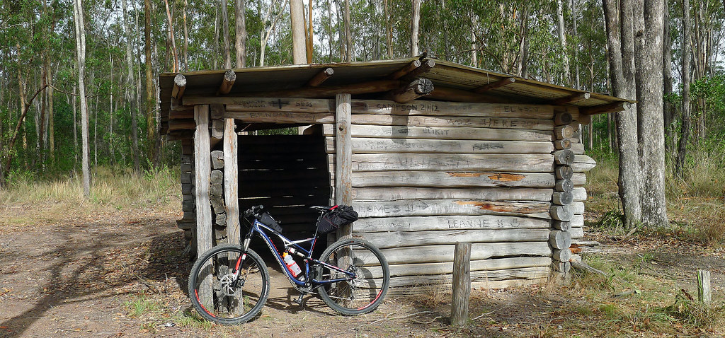
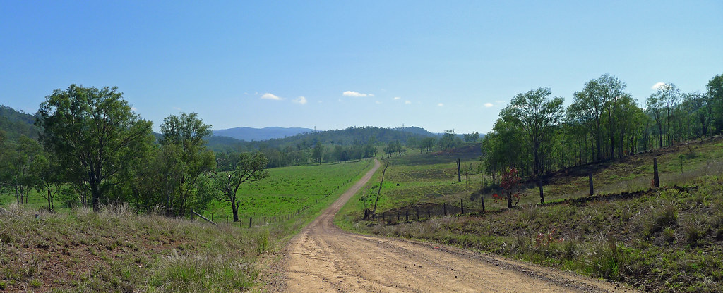
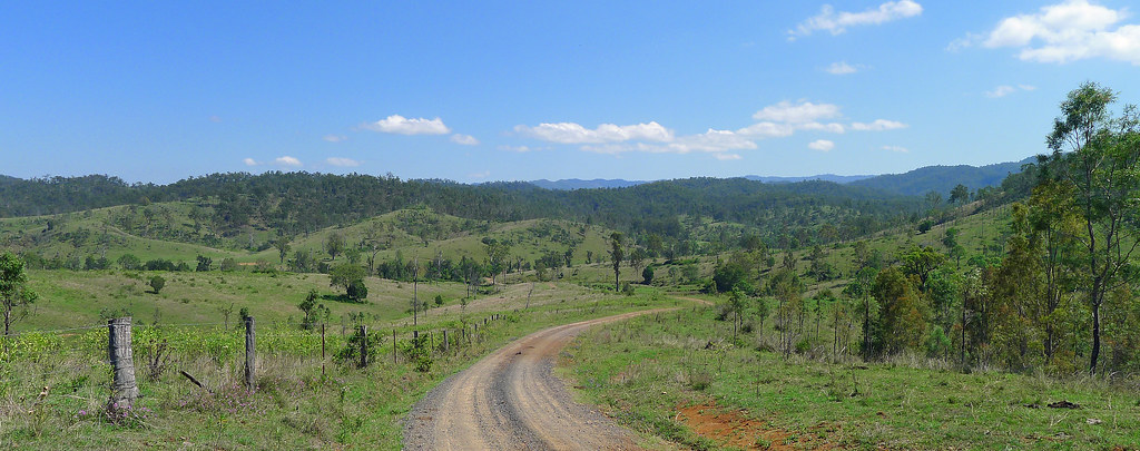
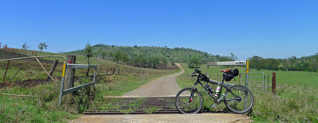
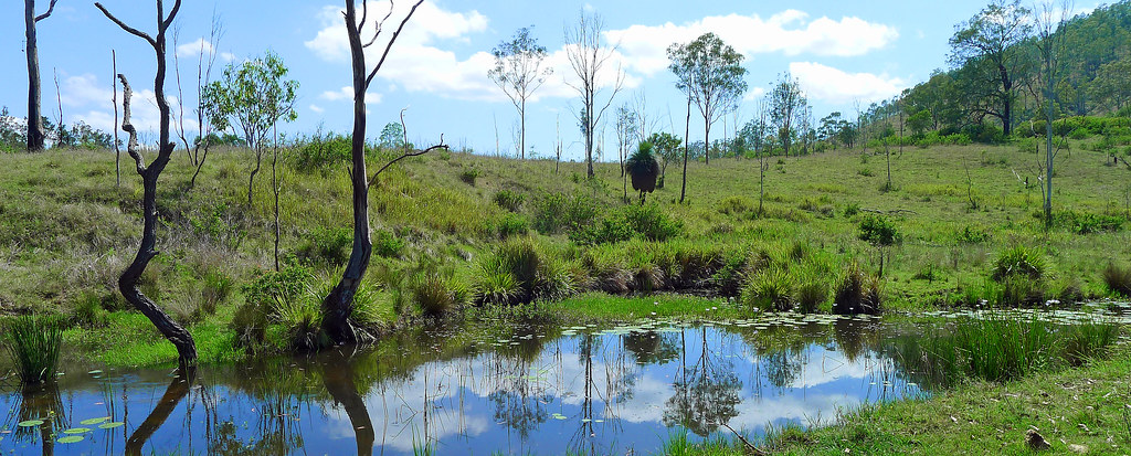
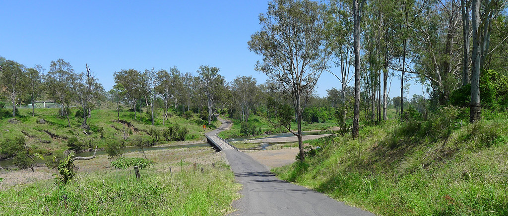
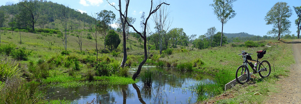
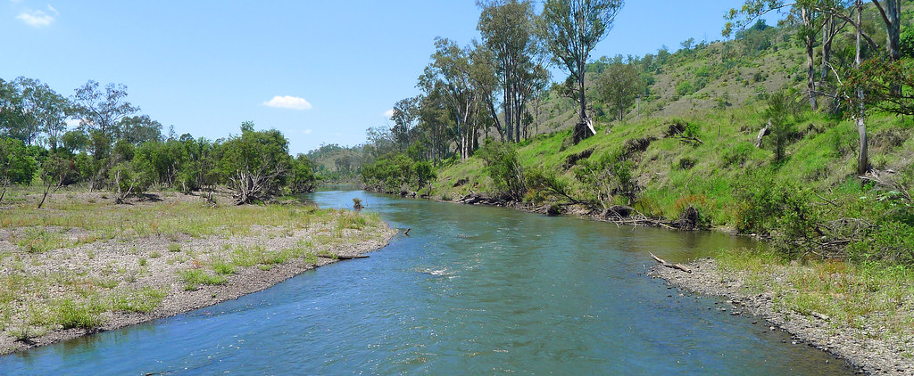
Banks Creek Road is a quiet, rural road that passes through cattle country on the outskirts of Fernvale. Undulating in parts, it has numerous water crossings, the major one being the causeway over the fast flowing Brisbane River at Savages Crossing. Nearly two years after the floods of January 2011, this section still bares the scars from the volume of water that flowed through here at that time. The road connects the western fringes of D'Aguilar National Park with the Brisbane River Valley region. As a result, it is an ideal corridor for epic rides from either Mt Nebo and Mt Glorious to the east or the Somerset Region to the west. The Brisbane Valley Rail Trail, conveniently passing through Fernvale, increases the options in a northerly direction as far as the small township of Yarraman. Couple these routes, with the regions very rideable Bicentennial National Trail, and you have the makings for a mega ride. Unfortunately, I picked the wrong season to ride here. Herds of cows roamed the road which, in itself, is usually not a problem. However, being mating season each herd had a bull attached. Protective of their herd, bad tempered and aggressive, they were determined to end my ride. I now know, given a headstart, I can out ride a bull. Twice in fact, but only just!. It made me ponder on the legalities of allowing bulls to roam along what is a public road.

Greville
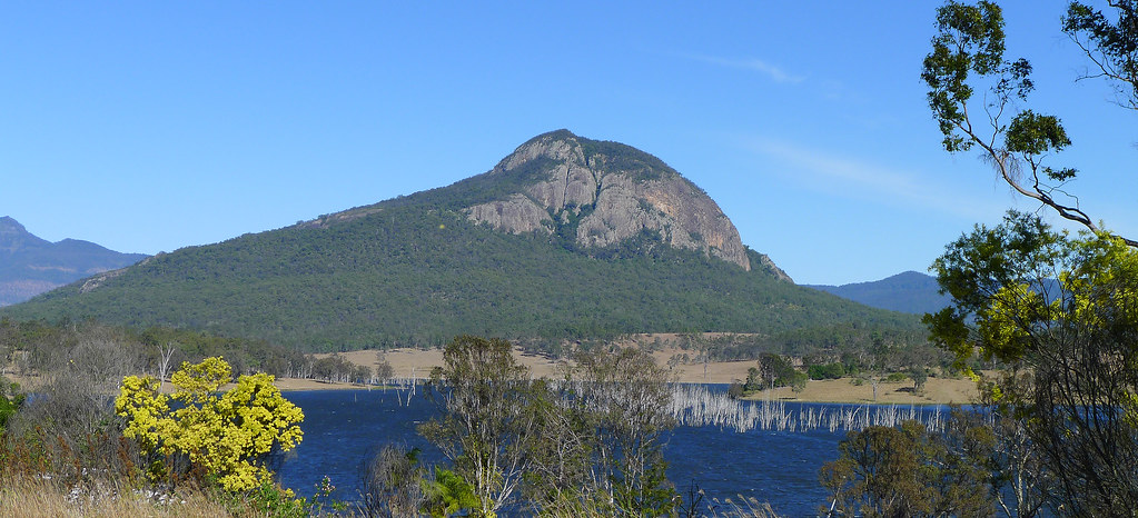
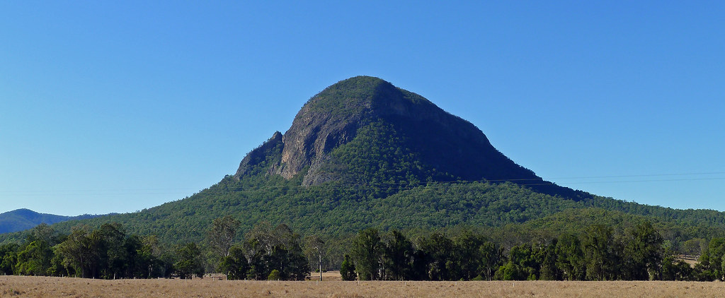
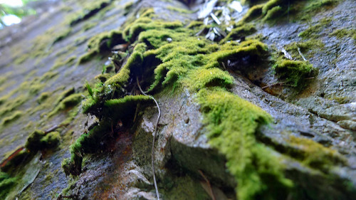
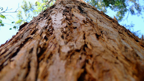
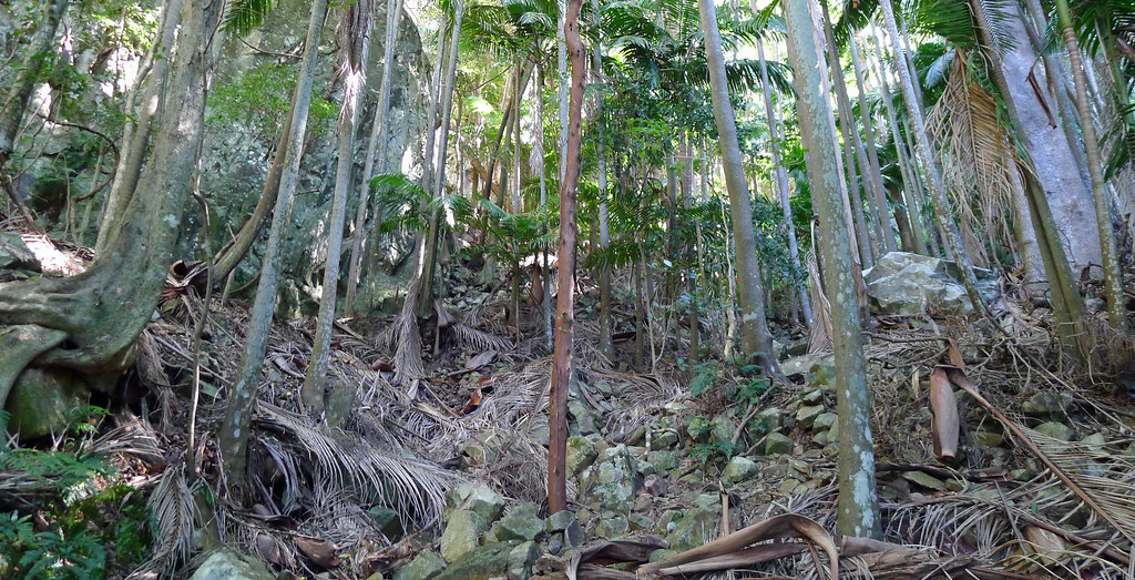
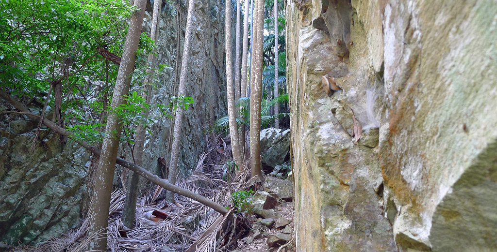
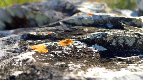
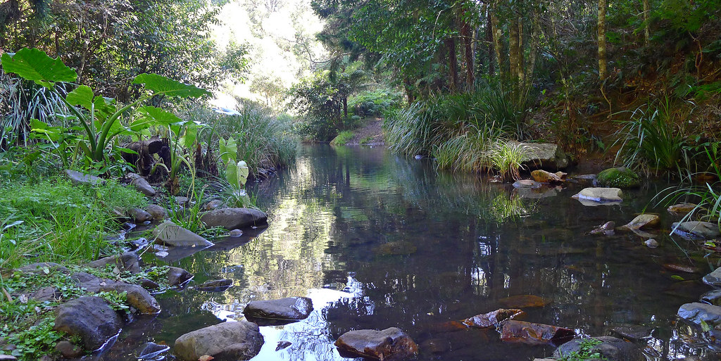
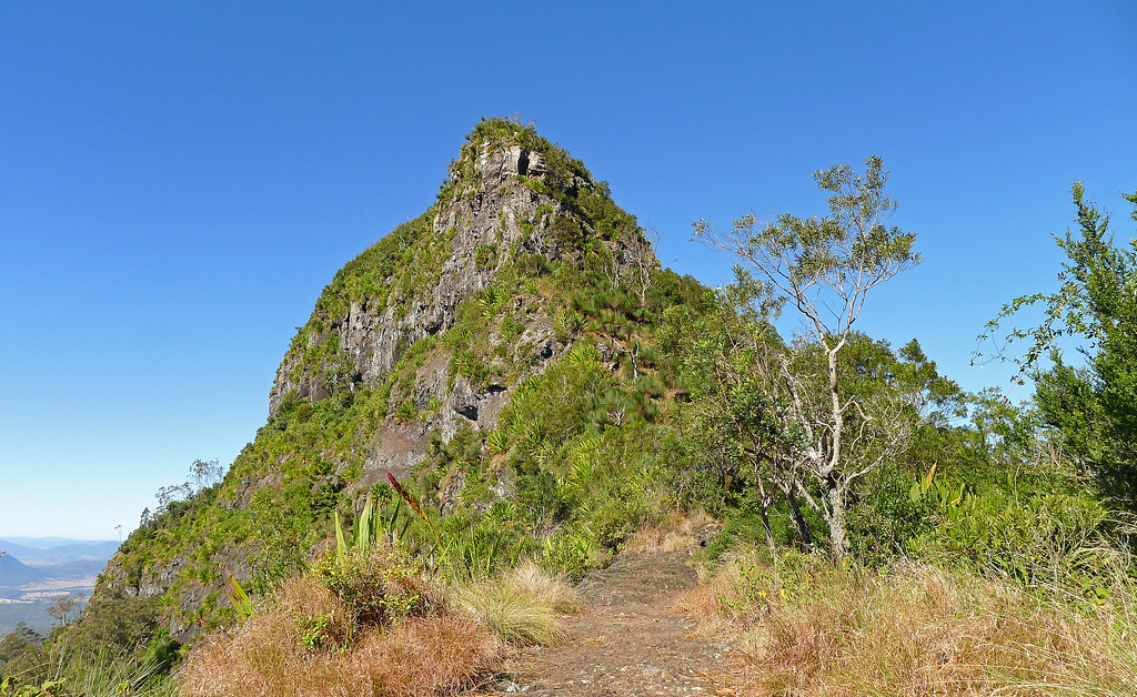
Mt Greville, to my mind, is one of the gems of the scenic rim. Without doubt Mt Barney is iconic and other peaks in the region are not without their own special appeal however; none of them have Palm Gorge or can arguably, offer quite the same diversity of landscape, terrain, flora and fauna at every turn that this mountain does. Palm Gorge (and Waterfall Gorge) is the jewel in the crown, offering a unique ascent route (or descent) between a narrow and steep sided gorge dominated by rainforest and carpeted by fallen palm fronds. Orchids, strangler figs, staghorns, ferns, mosses and lichen line the walls of the gorge while Piccabeen Palms tower overhead reaching for a glimpse of sunlight above the gorge walls.
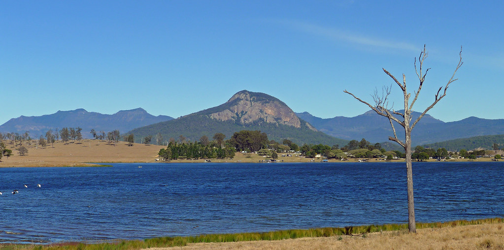
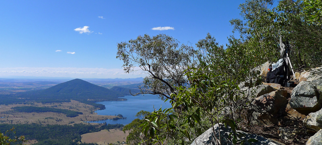
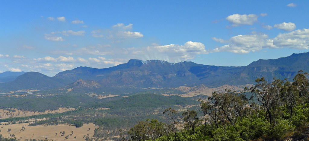
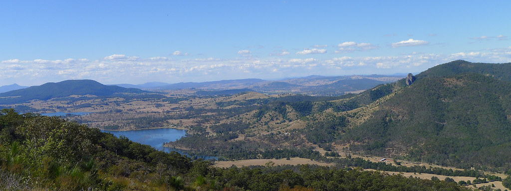
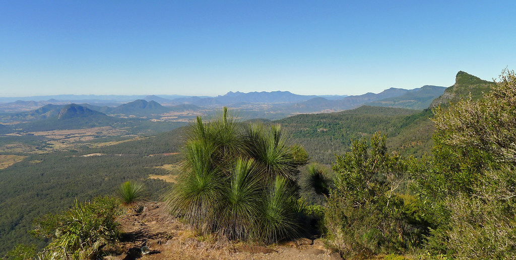
The views from the actual summit are limited but a rocky outcrop just west of the summit cairn provides an ideal position for lunch with superb views towards Cunninghams Gap and the Main Range ramparts. Boars Head, Mount Castle and the Hole in the Wall are all visible while to the North lays the conical shape of Mt Edwards and the blue expanses of Lake Moogerah.
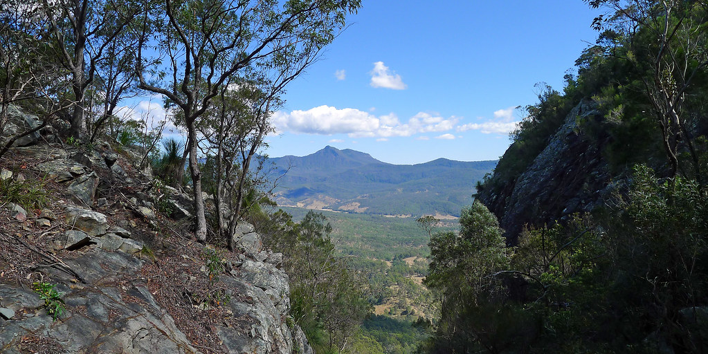
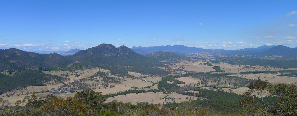
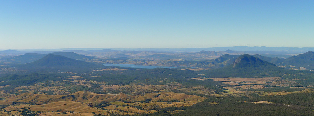
My descent from the summit was across the scree slopes and rocky slabs of the south east ridge that offered views down into the twin gorges of Waterfall Gorge to the left and Palm Gorge to the right. The view out over the Fassifern Valley is dominated by Mt Moon and the rugged finger of rock that is Glennies Pulpit while below, an inlet of Lake Moogerah ekes a path over the lowlands. In the distance Mt Barney and the Mt Ballow massif dominate the horizon and the ridge of the Main Range extends to the west until it reaches Spicers Peak. Another great day out in this region with perfect weather to match the surroundings.
 |  |
 |  |

Upper Portals; Mt Barney National Park
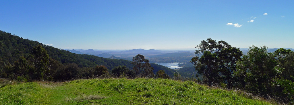
Another perfect winters day and another stroll in the scenic rim, in particular Mt Barney National Park. Circumstances meant this walk evolved from an overnighter to Monserrat Lookout, then a day walk along the Monserrat Circuit before I finally settled on the track to the Upper Portals. The change in plans came about after a later than scheduled start and was hastened when I decided not to risk the drive up the 4wd track to Cleared Ridge in my 2wd car. What ensued, was a two hour slog up a track that rises nearly 700 metres over a little more than 5km at its highest elevation.
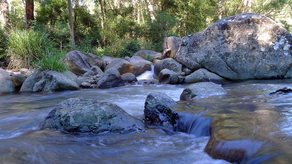
It was worth it though, as it was almost a cloudless day and the views superb across to the twin peaks of Mt May and Mt Maroon further afield. Lake Maroon shimmered below and Mt Barney dominated the skyline from Cleared Ridge. The numerous creeks along the way were ice cold, but thankfully the levels were quite low so I ended up with nothing more than frosty feet. The water wasn't too high either at the portals so I was able to scramble downstream a little way past cauldron shaped depressions in the rock, to an area where steep sided rock slabs lead down to the creek, before returning to the slabs that mark the start of the Upper Portals.
It was a little cool on the return journey as the sun had dipped and was no longer reaching the valley floor. Cleared Ridge was a little warmer, but I wasn't looking forward to the steep descent back to the car. However, I knocked it off fairly quickly, despite my knees complaining loudly and loosing traction a couple of times on the steep pea gravel sections. All up, a little over 18km and nearly 800 vertical metres of climbing; a nice workout, but disappointed I didn't have more time for an overnighter in Barney NP.
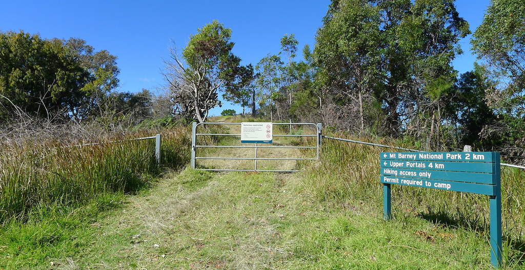
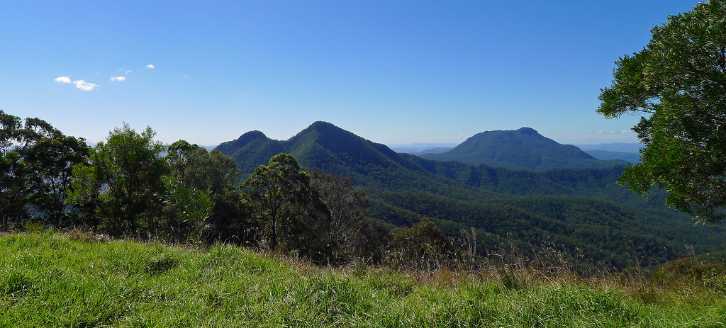
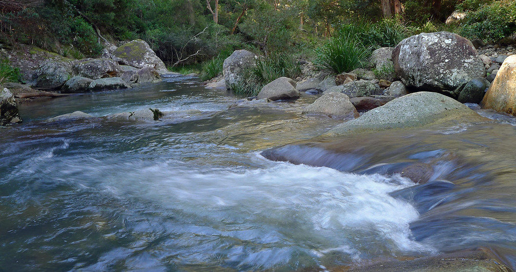
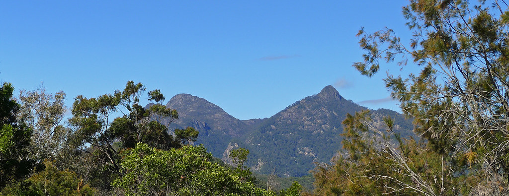
Mt May Campground to Upper Portals; Mt Barney National Park at EveryTrail
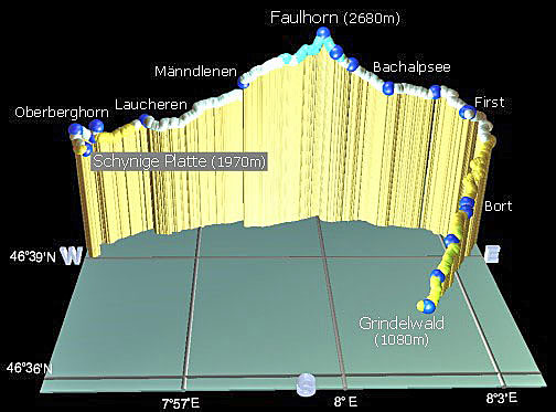
Swiss Alpine Route; Schynige Platte - Faulhorn - First - Grindelwald.
I have had these photos from when I visited this part of
Switzerland lying around for a few years now, but I had never gotten around to
posting them. They were taken with an old cheap camera and I was never overly
happy with their quality, nevertheless I decided to tidy them up a little,
run them through a slideshow program and compress them into a video. I prefer
Vimeo for this process but the compression program did such a poor job that I
elected to try YouTube for the first time. The results are definitively better
through YouTube and considering the cheap camera used I’m relatively happy with
the results.
(Best quality achieved in fullscreen and 1080 HD)
This day walk ranks as one of the most spectacular and scenic
hikes in the Bernese Oberland/Jungfrau area, and offers jaw-dropping views in
all directions. It leaves from Schynige Platte at 1969m, ascends to
Faulhorn at 2680m and ends at First which is 2180m above sea level. I extended
the route to Grindelwald where I was staying which took me back down to an
elevation of 1034m. It’s a big day out with at least a kilometre of vertical
altitude gained and a similar amount to descent, plus another 1100m if you
chose to walk from First down to Grindelwald. The main trail from Schynige
Platte to First is 16km but as I continued on to Grindelwald, which I guess
added about another ~6-8km or 2-3hrs walking if you take that option (a gondola
from First is available, but if you miss the last gondola you have no option
but to walk down to Grindelwald).
The start of the walk is reached with a 50 minute trundle on
the old and slow cog wheel rack railway which leaves from Wilderswil (586m) and
climbs to Schynige Platte, (1967m) home to beautiful green meadows and at the
right time of year, masses of alpine flowers. The steep cog railway offers
spectacular views of the Brienzersee and the Jungfrau and is a pleasant prelude
to the days walk.
The walk itself is simply stunning, and, has it all! Far
below, I was able to peer down on the turquoise waters of the Brienzersee, and
the alpine lake of the Thunersee while above, the skyline was dominated by the
peaks of the Niesen and the Niederhorn. Below, lay the endless green valleys of
Grindelwald and Lauterbrunnen which are surrounded by the majestic towering
range of the Wetterhorn, Eiger, Mönch and Jungfrau mountains. Passing wild
scree slopes and many beautiful small alpine lakes I descended into a valley in
which nestled the not so small but postcard perfect Bachalpsee Lake. From this
valley I could see the Rötihorn away to my right while across the lake, the skyline
was dominated by the peaks of the Wetterhorn and Schreckhorn.
Mt Cordeaux and Bare Rock Track; Main Range National Park
Cunninghams Gap divides Mt Mitchell from its more northerly neighbouring peak of Mt Cordeaux. From the Gap, the climb to Mt Cordeaux commences from the eastern end of the car park and passes the memorial to Allan Cunningham before climbing to the Mt Cordeaux Lookout. The lookout is located just below the 1135m summit of Mt Coredeaux, on an exposed rocky slab which catches the morning sun. It was one of those beautiful South East Queensland winter mornings, a little chilly in the rainforest sections of the track but once the exposed sections of the track are reached, the winter sun takes the chill from the air.
En route to the lookout, on an exposed rock ledge, the head of a mine shaft is located, guarded only by a low chain wire fence. Here, in the early 1900’s, persuaded by a conman with a handful of ‘fools gold’, two local brothers sold their farm and bakery to fund their dream of striking it rich on the mountain. It took years of toil and hardship before they eventually exposed the fraud. It is a sad and permanent reminder of a futile enterprise.
Mt Cordeaux Lookout provides near 360 degree views; to the north over the ramparts of Mt Castle, east over the scenic rim and further to the sand hills of Stradbroke Island, while to the south, the tip of Mt Warning rises above the Lamington Plateau. Slightly above the lookout the actual summit of Mt Cordeaux rises steeply, (a scramble will get you to the summit but it is not worth it for the views alone as they are superior from the lookout) while below the summit the sheer cliff line is covered with spear lilies’.
Leaving Mt Cordeaux Lookout the track heads west on its way to Bare Rock and hugs the southern cliff line of Mt Cordeaux before emerging onto a narrow exposed ledge that links Mt Cordeaux with the rest of the range and offers stunning views back to its summit (This is the access point if you want to scramble off track to the summit). The track then heads uphill through rainforest before finally a brief and simple scramble deposits you onto a wide exposed rock slab that is Bare Rock.
Bare Rock offers similar, near 360 degree views to Mt Cordeaux, perhaps allowing for a little more of the north western aspect however; undoubtedly, it is the best vantage point to view the ramparts of Mt Castle, Boars Head and the razor back ridge that ascends to Mt Castle. Perhaps, later in the day, it may be even be possible to spot the Hole in the Wall, when the sun has dipped below the horizon. My suggestion, would be to save your morning tea or lunch for this spot as the mostly unhindered views are probably only bettered in this region by the completely unhindered views offered from the summit of Mt Maroon.
Returning to the main track junction I followed the out and back track to Morgans Walk however, this tracks ends abruptly and is mostly overgrown with minimal views in any direction. The 6-7km return journey gave me a chance to get some easy trail running miles into my legs, albeit downhill ones’! A fantastic end to a typically beautiful South East Queensland winter morning!
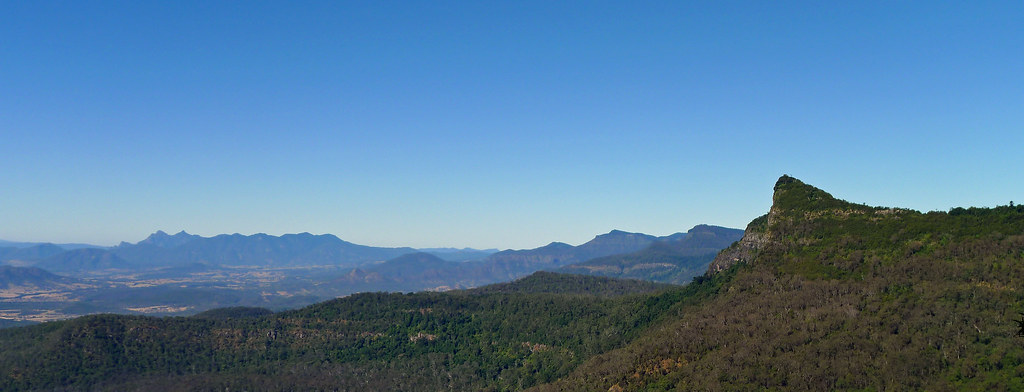
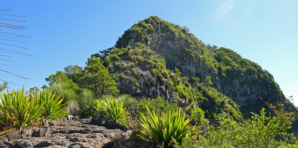
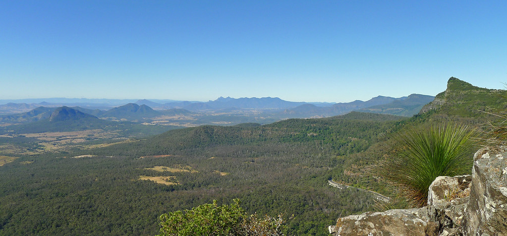
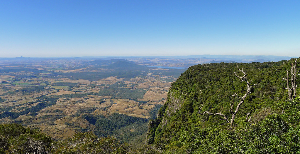
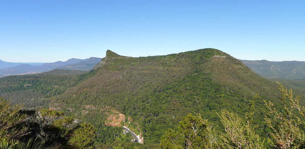
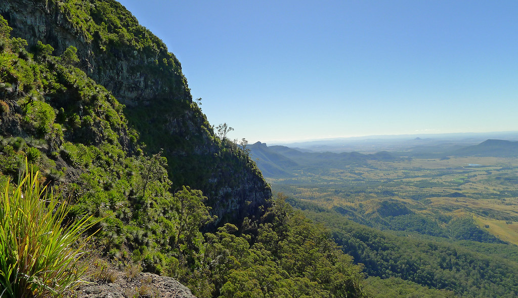
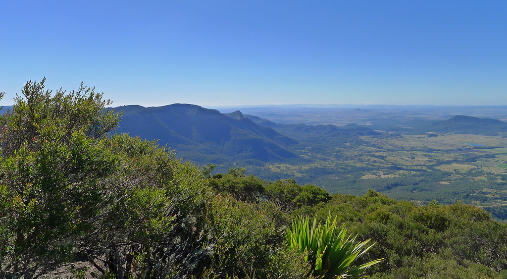
Mt Cordeuax and Bare Rock Track; Main Range National Park
Subscribe to:
Comments (Atom)
