Outstanding views, varied terrain, unique vegetation, relatively quiet roads, steep climbs and pockets of rainforest that provide at least some relief from the oppressive heat are just some of the features of the hinterland, that straddles the Queensland and New South Wales border, above the Tweed Valley. This equates to some exceptional riding and makes me wonder why I have neglected this region for so long despite spending many of my formative years within a stone’s throw, albeit on the ‘maroon’ side of the border!
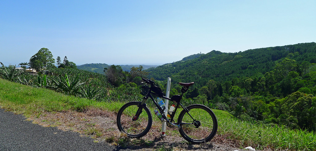
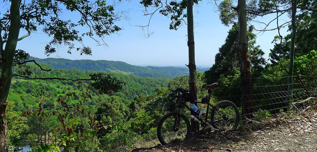
Don’t be fooled by the lack of quality photography, I struggled to even remotely capture the beauty of the region. The route I chose was relatively short on distance but big on scenery with the added challenge of the Tomewin Road climb thrown in for good measure. I started the ride at the Pat Smith Park on Dulguigan Road outside of Murwillumbah. Commencing the ride here not only avoids the busiest section of the road that leaves Murwillumbah heading for Tomewin Road but also places the Tomewin Road climb at the beginning of the ride rather than at the end.
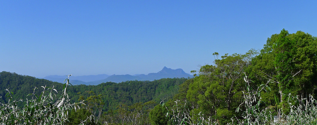
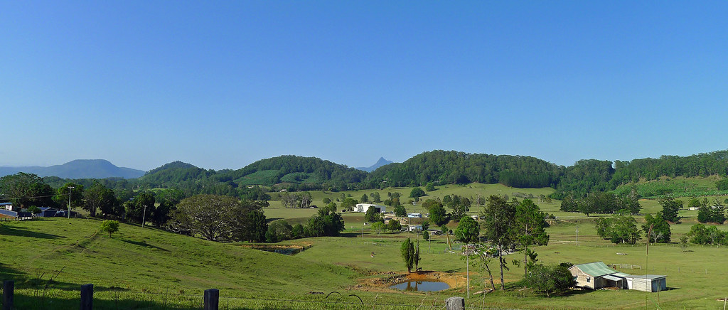
Tomewin Road is a nice ‘warm up’ and ‘heart starter’! At 6.5km in length with an average gradient of 7 percent that starts at sea level and rises to approximately 400 metres it is, a challenge, to put it mildly. The reward for all the hard work is expansive views over the impossibly green patchwork fields of the Tweed Valley and, from various vantage points, the unmistakable contours of the proud ‘Cloud Catcher’, Mt Warning. The top of the Tomewin Road climb brought me to the border gate from which I took a right turn onto Glengarrie Road, a road which starts off relatively well formed but soon deteriorates into a rough track. The road initially stretches along a ridge line and then undulates with twists and turns that took me through thick rainforest however, glimpses of the Tweed Valley, far below, can been seen to the south-east.
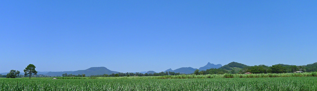
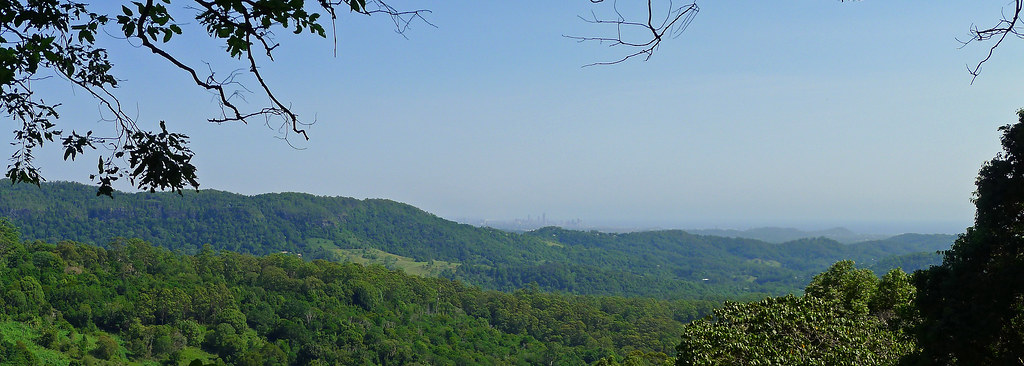
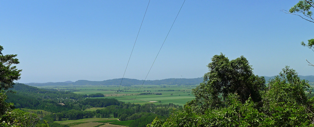
On the rough descent from Glengarrie Road distant views of the coastline and the towers of Surfers Paradise are ever present but eventually the bitumen is reached and I passed through the small hamlet of Carool. The road continues onto Bilambil with some undulation, but eventually a fast and at times steep downhill run is reached that stretches for several kilometers. This section is so enjoyable that it is difficult to force yourself to stop and enjoy the views, particularly of the distant Mt Warning. If you don't stop for the views, the next time you will reach for the brakes is when you arrive at Bilambil, a quiet village by a creek with a handy store for a cold drink if needed. Turning right at the towns round-about brought me onto Urliup Rd in the Bilambil Valley. The going was relatively flat with the first few kilometers being bitumen that eventually turned into well-formed dirt. Glancing to my right I could see the hills I had just traversed and the height from which I had just descended.
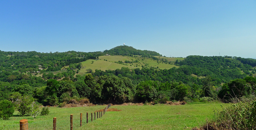
The route once more took me past small acreage farms and rainforest and over several small bridged creek crossings and up and over the odd undulating hill. The views were pleasant over the valley and the riding easy until the final climb of the day was reached. I found the Urliup Road climb a delight. It’s essentially a rolling climb, now paved, that zig zags its way through rainforest and constantly steals elevation away after you gain it in short sections. At the top, once more there is a long and fast downhill that deposited me abruptly and surprisingly back onto Dulgiugan Road and the spot where I had parked my car. A relatively short ride that’s big on scenery, varied terrain and vegetation. The options for longer rides in the region are limitless and I hope to be back at some point.

Tracklog; http://connect.garmin.com/activity/433428911