Google+ The Norris Files: Moogerah Peaks National Park

Pages

Showing posts with label Moogerah Peaks National Park. Show all posts

Greville


P1010252b

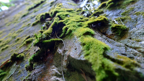
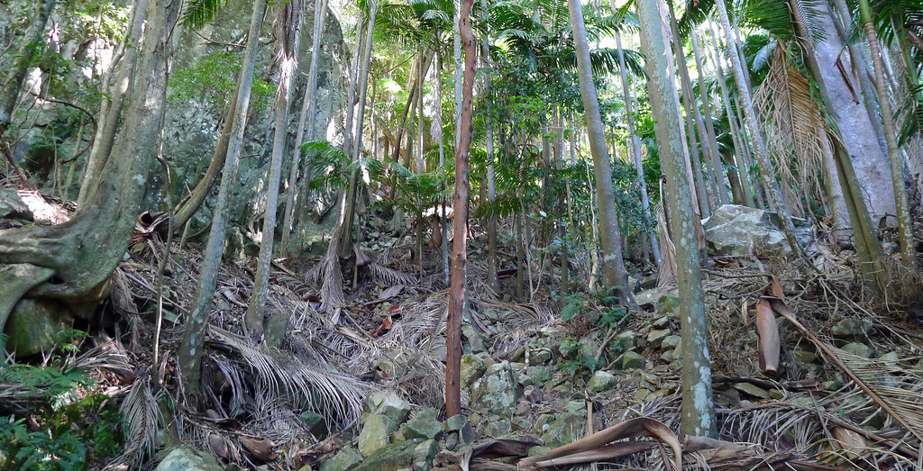
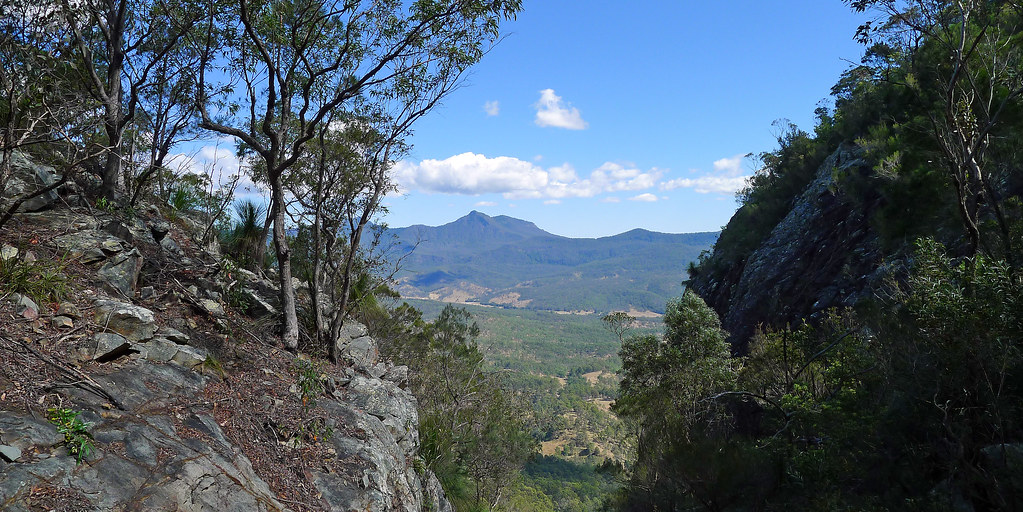
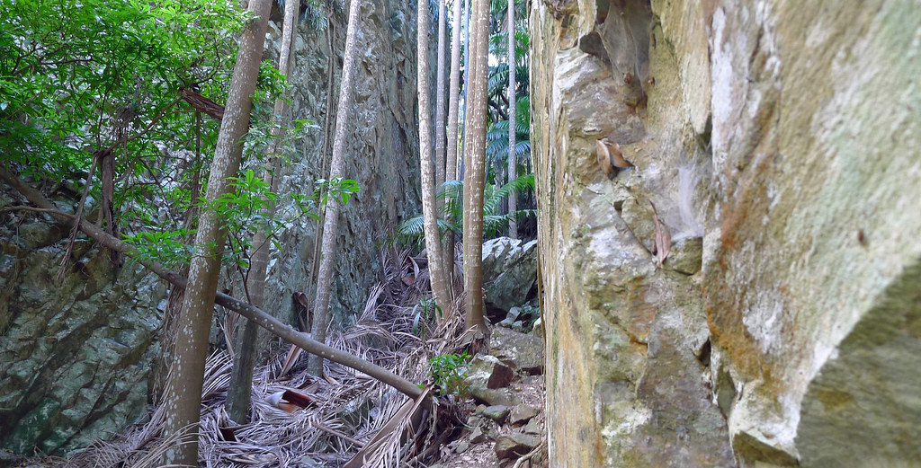
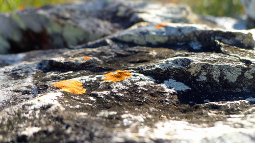
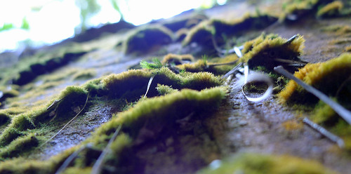
Mt Greville, to my mind, is one of the gems of the scenic rim. Without doubt Mt Barney is iconic and other peaks in the region are not without their own special appeal however; none of them have Palm Gorge or can arguably, offer quite the same diversity of landscape, terrain, flora and fauna at every turn that this mountain does. Palm Gorge (and Waterfall Gorge) is the jewel in the crown, offering a unique ascent route (or descent) between a narrow and steep sided gorge dominated by rainforest and carpeted by fallen palm fronds. Orchids, strangler figs, staghorns, ferns, mosses and lichen line the walls of the gorge while Piccabeen Palms tower overhead reaching for a glimpse of sunlight above the gorge walls.

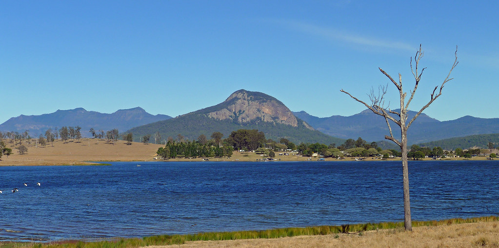
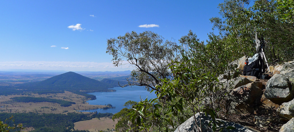
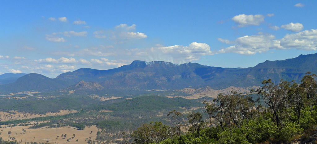
The views from the actual summit are limited but a rocky outcrop just west of the summit cairn provides an ideal position for lunch with superb views towards Cunninghams Gap and the Main Range ramparts. Boars Head, Mount Castle and the Hole in the Wall are all visible while to the North lays the conical shape of Mt Edwards and the blue expanses of Lake Moogerah.

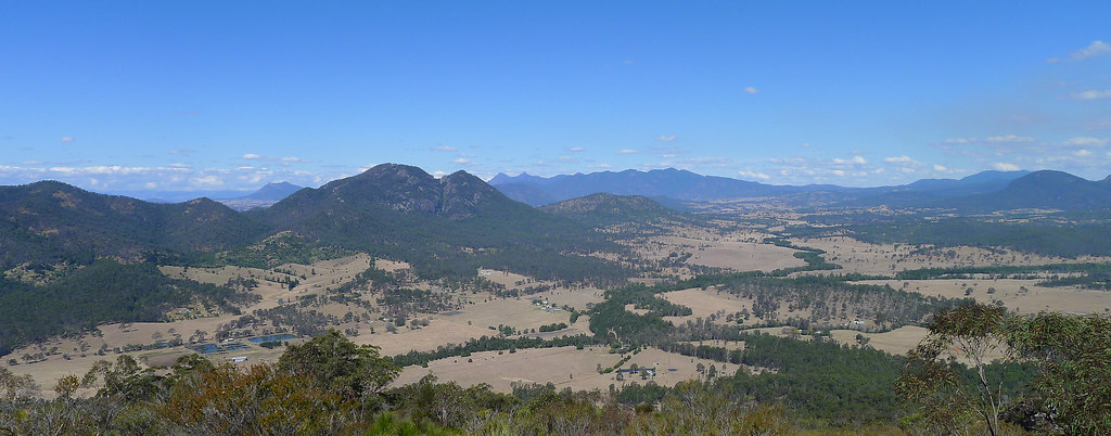
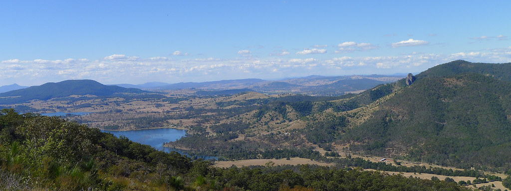
My descent from the summit was across the scree slopes and rocky slabs of the south east ridge that offered views down into the twin gorges of Waterfall Gorge to the left and Palm Gorge to the right. The view out over the Fassifern Valley is dominated by Mt Moon and the rugged finger of rock that is Glennies Pulpit while below, an inlet of Lake Moogerah ekes a path over the lowlands. In the distance Mt Barney and the Mt Ballow massif dominate the horizon and the ridge of the Main Range extends to the west until it reaches Spicers Peak. Another great day out in this region with perfect weather to match the surroundings.   
P1010248b

P1010254c

P1010267bP1010259b

P1010260b

P1010273b

P1010277b

P1010280b

P1010262b

P1010283c

Mt GrevillePalm Gorge; Mt Greville

P1010292b

P1010282b


Mt Edwards


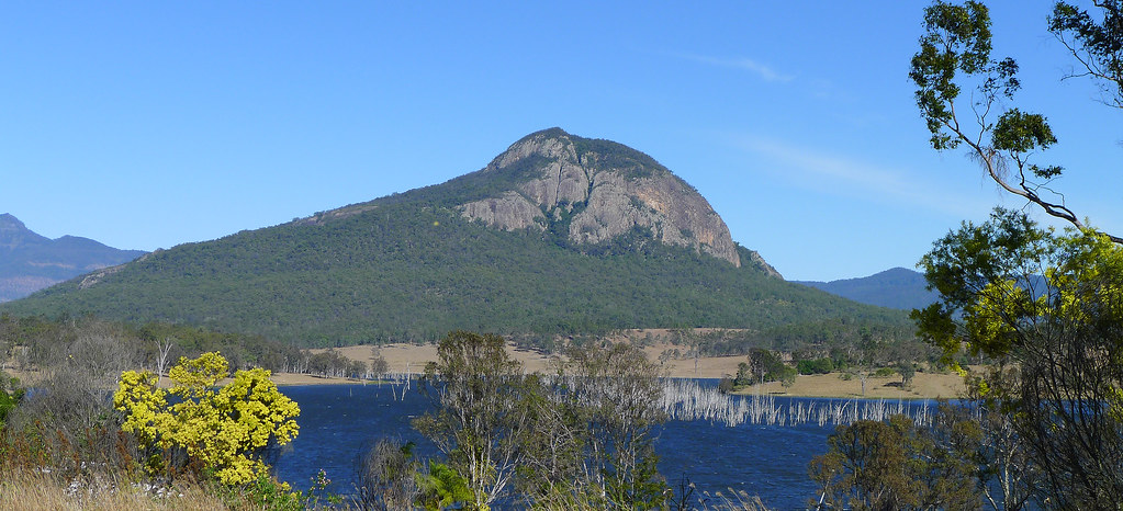
Mt. Edwards is located in the Moogerah Peaks National Park. Its conical shaped peak rises up from the Cunningham Highway. The walk to the summit started with a stroll across the Moogerah Lake dam wall before I followed a rough track that zigzaged steeply uphill alongside Reynolds Creek Gorge. Passing a rocky slab and an exposed rocky outcrop I reached Gorge Lookout which provided views to Little Mt Edwards and the scars etched out of its face from water course erosion, Reynolds Gorge and Reynolds Creek, in which I am reliably informed, is home to the platypus!

Leaving the lookout the track becomes less distinct and climbs steeply over numerous stone steps. This part of the mountain has been affected by bush fires in recent years and the regrowth is dominated by hoop pines , eucalypt and grass trees. The track then almost levelled out as it lead North West initially then veered abruptly to the right for the final climb to the summit.

Two hours after leaving the car I reached the summit which is declared by a brass Survey Office of Queensland permanent marker. The south easterly views from the summit extend down to Reynolds Creek and across to the steep cliffs of Frog Buttress and the prominent flat top of Mt French. Further north the view below stretched out across a chequerboard mosaic of farming land while on the horizon the ‘skyscrapers’ of Brisbane were vaguely visible through the heat haze. A short track lead around to the West and offered some foliage impeded views towards the Great Dividing Range.

The descent via the same route took about an hour and was easy despite my complaining knees. The reward for that effort was lunch at the Sugar Loaf Bakery in Boonah. Superb pies and cream buns made with real cream!