Guidebook 6 of the Bicentennial National Trail (now out of print and available only in draft form and, as an ‘e-guide’) covers the Blackbutt to Killarney section. According to the Guidebook, none of this sections ~357kms' are particularly difficult for the cyclist. The route mostly follows the foothills of the Great Dividing Range passing just to the east of Toowoomba however, the range must be climbed just south of Toowoomba and again near the border. The Trail passes through a mixture of rough bushland and settled grazing/agricultural areas and makes use of the Brisbane Valley Rail Trail as it leaves Blackbutt. It is worth mentioning that significant sections of the Trail in this region were destroyed in the 2011 and 2013 floods. As a result, there has been some major re-routing of the trail to deal not only with flood damage but also land access issues. Thus, Guidebook 6 is available only in draft form at the present time. Despite this, the Guidebook is complete in that it provides maps and route notes for the entire section
Guidebook 6 Map 13; Thornton to Rosevale (~33.60km)
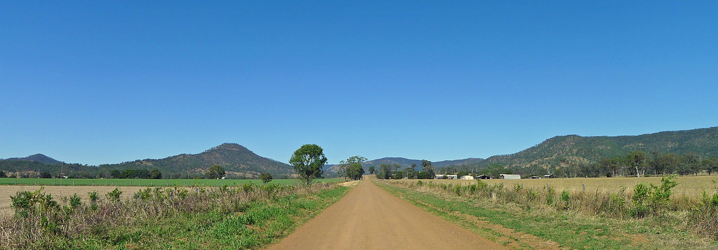
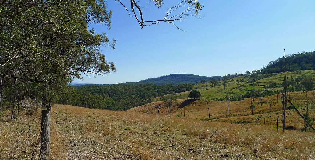
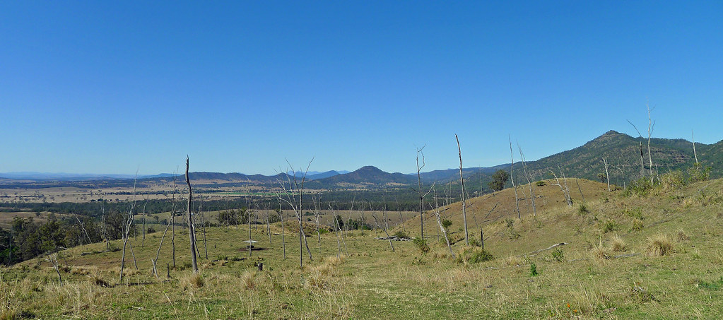
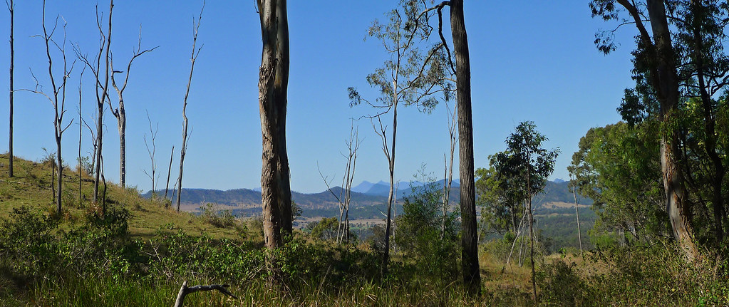
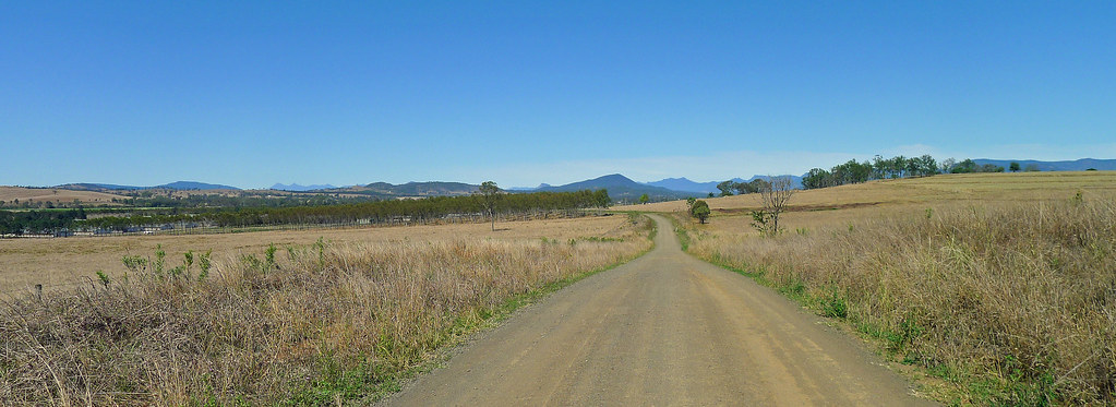
The trail now leaves the camping facilities at Thornton, a small township nestling under the shadows of the Main Range. Briefly heading north along the fertile plains of the Laidley Valley the trail is bordered by the Mistake Mountain Range to the west and the Little Liverpool Range to the East. Turning eastward, the Guidebook offers two options for crossing the Little Liverpool Range, either over Edwards Gap or, the 'softer' option for cyclists at Red Gap. The climb over Red Gap is steep but relatively short and the track for the most part can be ridden however, the odd section briefly deteriorates into a rocky track with steep gutters. This section of the trail, in reverse, is used for the annual mountain biking event the Flight Centre Cycle Epic. At the top of the Little Liverpool Range there are panoramic views down into the Bremer Valley and over old grazing country to Rosevale and Mt Walker. Further distant, the peaks of Mt Barney and Mt Maroon rise through a blue haze.
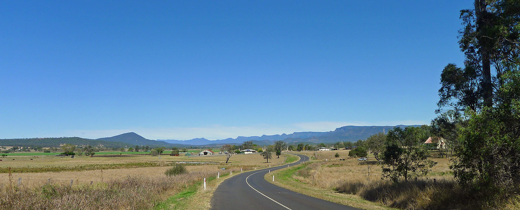
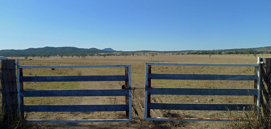
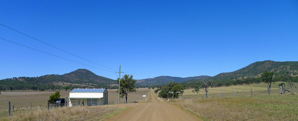
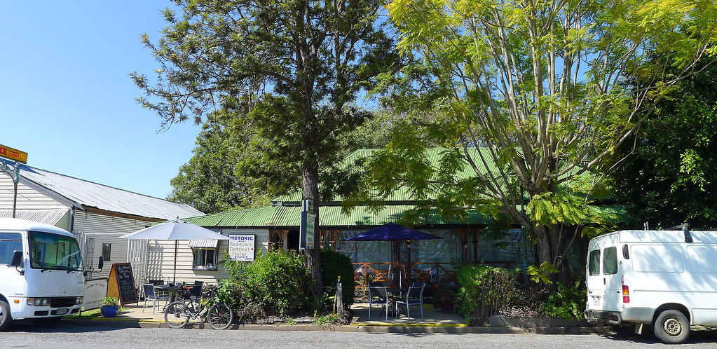
The descent from Red Gap is fast then, turning south and under the ever present gaze of Mt Walker, a combination of gravel and bitumen rural roads are followed, through mixed grazing and agricultural properties until Queenslands oldest hotel building is reached, the Historical Rosevale Retreat Hotel. Built in 1852, shaded by century old Elm Trees and offering clear views of the nearby Little Liverpool Range the pub boasts a fascinating history. Originally located one mile away on the banks of Black Gully Creek, it was moved by two bullock teams to its present site after the 1893 great flood deemed the original site unsuitable. During the five days that it took to complete the relocation, trading at the Hotel never ceased.
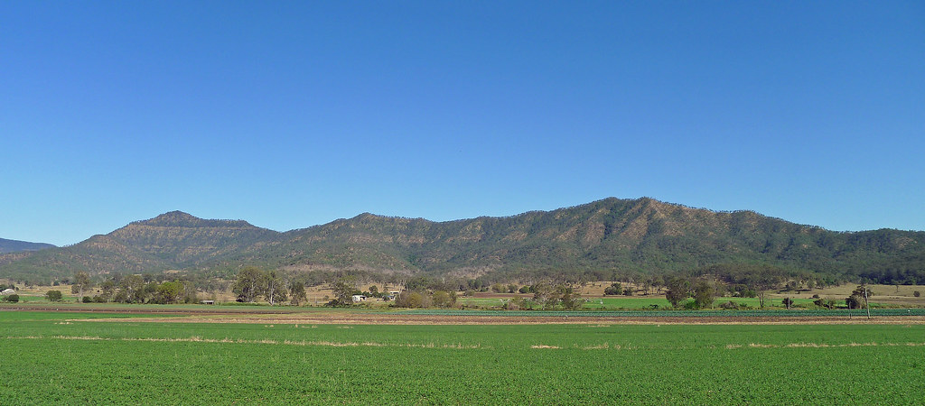
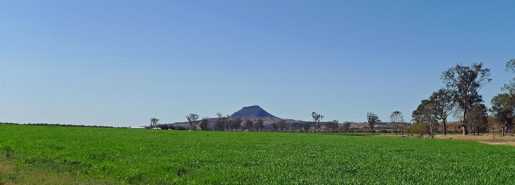
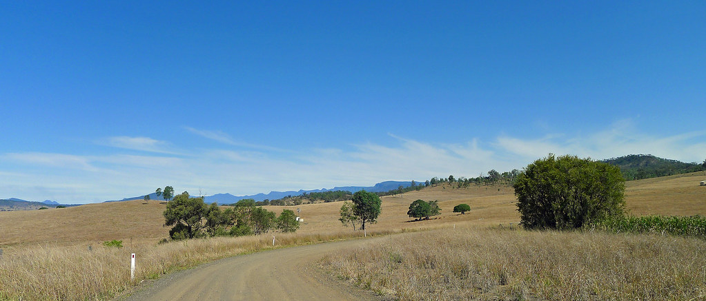
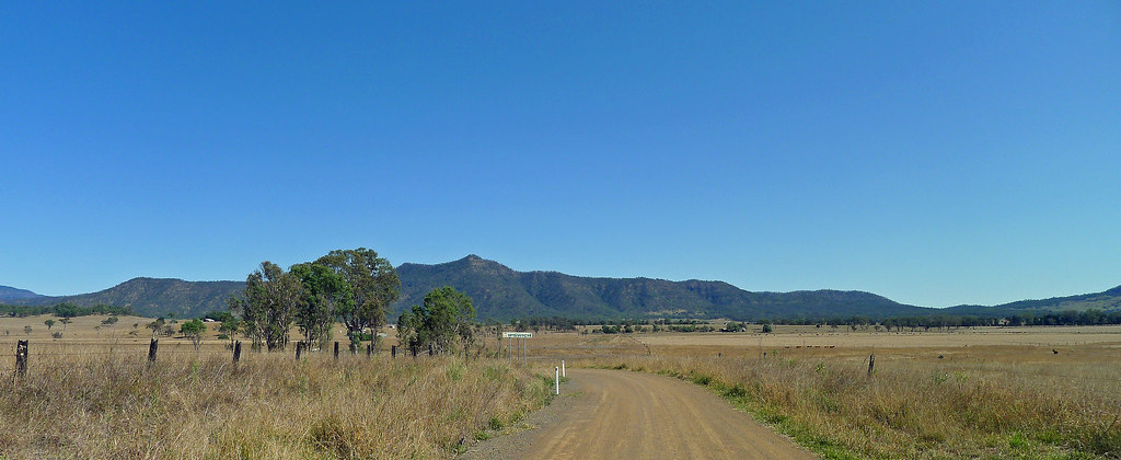
I rode this section of the trail as an out and back route. The options for short loop rides are limited as the southern end of the Laidley Valley is blocked by the Main Range and Mt Castle which stands like a fortress and can be seen for kilometres. However, the options for extended day rides or multi day rides in this region are endless and only limited by ones imagination. In short, a pleasant, relatively flat ride at lower elevations, other than the climb over the Little Liverpool Range, with the bonus of lunch at a wonderful old country pub!


Tracklog; http://en.wikiloc.com/wikiloc/view.do?id=5086194 (Note; the track has been reversed for some reason ((Rosevale to Thornton)).
No comments:
Post a Comment